


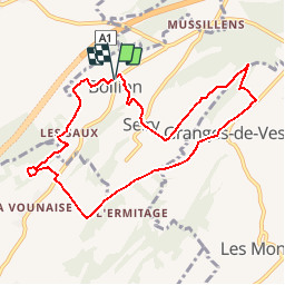

8.6 km | 11 km-effort


User


FREE GPS app for hiking
 SityTrail
IGN / Geographical institutes
SityTrail World
The world is yours!
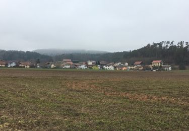
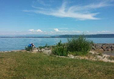
Trail Walking of 8.9 km to be discovered at Fribourg, District de la Broye, Lully (FR). This trail is proposed by gpiller.
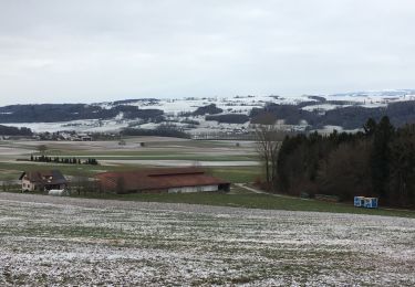
Trajet Bicubic - Villars-Bramard - Granges-Marnand - Ménières - Vesin - Montet - Bollion: 22km, 30min, Fr. 4.00. Parking vers le millieu du village sur la droite.
Café La Caravelle, route de Frasses 23.
1483 Montet (Broye)
Téléphone 026 665 12 98
On foot
Walking
Walking
Walking
Walking
Cycle

Cycle
Cycle
Other activity